Global positioning system (GPS)
From 1974 to 1979 a trial using six satellites allowed navigation in North America for just four hours per day. This trial was extended worldwide by using eleven satellites until 1982, at which time it was decided that the system would be extended to twenty-four satellites, in six orbits, with four operating in each. These orbits are not symmetrical and they can be varied. They are set at a height of about 21 000 km (13 000 miles) and take approximately twelve hours to orbit the Earth.
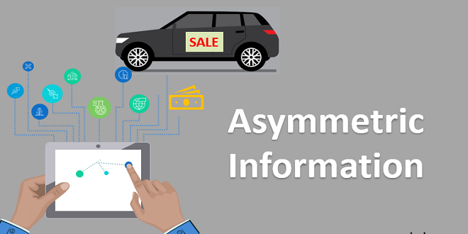
The system was developed by the American Department of Defense. Using an encrypted code allows a ground location to be positioned to within a few centimeters. The signal employed for civilian use is artificially reduced in quality so that positioning accuracy is in the region of 50 m
The GPS satellites send out synchronized information fifty times a second. Data on-orbit position, time, and identification signals are transmitted. The navigation computer, in the vehicle or elsewhere, receives signals from up to eight satellites. The times taken for the signals to reach the vehicle are calculated at the same time.
From this information, the computer can calculate the distance from each satellite. The current vehicle position can then be determined using three coordinates. Imagine the three satellites forming a triangle – the position of the vehicle within that triangle can be determined if the distance from each corner (satellite) is known.
The satellites each have very accurate atomic clocks (four of them) that are synchronized by a communication link between satellites. Navigation computers also have clocks and, to eliminate the difference between satellite time and computer time, an additional measurement to a more distant satellite is taken.
The main components of a ‘sat-navy’ system are shown in . Maps of towns and cities as well as names of towns, cities and roads are stored on CD-ROM in the main unit. Information on main routes and menu sound/text is also held. The unit is mounted in the boot or under the passenger seat.
Advanced telematics and communications systems – Jaguar
The following description, supplied by Jaguar, relates to the 2004 Jaguar XJ and is a good illustration of how telematics and communication systems are progressing: Jaguar Voice, an industry-first for Jaguar in 1999, provides drivers and rear passengers with access to voice-activated control of compatible systems, including primary audio functions, Teledex, telephone, climate control, navigation systems, and in-vehicle displays. Jaguar has made voice activation – a technology to reduce distraction when driving – an ongoing research priority. All vehicles are pre-wired for installation of the desired language mode.
The system will be available in English, French, and Spanish. A push-to-talk (PTT) button located on the steering wheel and in the rear multimedia switch pack (where specified) activates the Jaguar Voice system, and automatically mutes the audio system volume, for telephone use.
Last word
DVD Navigation, a Denso navigation system with a large 7-inch screen, is available across the XJ range. Using exceptionally fast DVD technology to deliver timely mapping information to the clear, touch-sensitive screen, the system is easily programmed with the desired destination, such as a house number or street junction. Alternatively.